Discover HKBU
Learning history through time and space
29 Feb 2024


While Japan’s occupation of Hong Kong during the Second World War has been extensively chronicled, its commercial and social presence during the pre-war period is lesser explored. The latter subject piqued the interest of a group of HKBU students, who then developed a spatial history research project on the economic and social activities of the Japanese communities in Hong Kong from 1868 to 1941.
In the form of interactive historical maps and images, the students’ project traced the footprints of the Japanese across the city, helping to illuminate the life and activities of these communities that eventually became part of the history of Hong Kong.
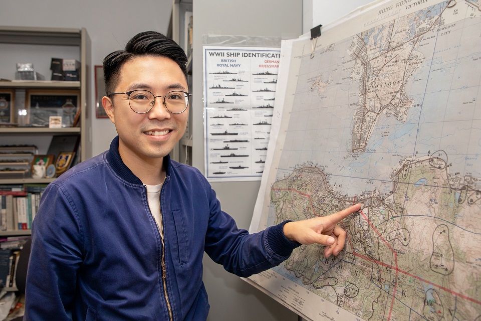
This kind of insight into the past is what Dr Kwong Chi-man, Associate Professor of the Department of History, hoped for when he designed the course "Introduction to Spatial History”. The course, which was first launched in 2020, has just completed its fourth run, and it enables undergraduates to create their own spatial history research projects utilising geographic information systems (GIS), a digital tool that can be used to create, manage and analyse geographical information. The course also illustrates how GIS can be an effective tool for the teaching of history.
“Historians have always been interested in the spatial dimension of historical events, but it is often difficult to present the concept of ‘space’ in the work of writing history systematically. In the past two decades, the use of GIS in historical research has made it possible to integrate data from multiple sources of different time periods for comparisons and analyses,” says Dr Kwong. “It also allows us to efficiently visualise the data on an interactive map and identify any changes at different points in time.”
What makes this course unique is its transdisciplinary concept, as the course is open to students of different years of study from all disciplines. Dr Kwong says: “The students brought their own ideas and strengths to their projects, and learnt technical skills that can be applied to their area of study. With today’s technological advances, students must develop digital literacies and digital humanities skills to enhance their competitiveness in the future job market, especially in history-related fields such as education, curation and conservation.”


In the course, Dr Kwong connected the students with other materials and resources that facilitated their projects, with the support from a GIS software provider, as well as the Government Records Service and the Geospatial Lab under the Development Bureau of the HKSAR Government. The student projects covered a wide variety of topics about Hong Kong from the 18th to the 20th centuries, ranging from taxation, transportation and economic development to triads and pollution. These projects spotlighted different aspects of Hong Kong’s past and some offered new historical insights.
Dr Kwong detailed the integration of technology into his teaching practice in the article titled “Using Geographic Information Systems in a Spatial History Course to Develop Students’ Digital Literacies and Digital Humanities Skills”, which was published in the book Teaching with Technology in the Social Sciences. The book presents innovative teaching projects by the Faculty of Social Sciences at HKBU. With funding support from the University Grants Committee, these projects capitalised on the use of technology to enrich students’ learning experiences.
Selected students’ works of the course “Introduction to Spatial History” can be viewed at: https://digital.lib.hkbu.edu.hk/history/spatialhistory/